Take US 3 to Connecticut Lakes
^ date reposted to this blog
Feb. 08, 2017: originally posted to my old blog
Jul. 19, 2020: last updated
But did you know there is also a Fourth Connecticut Lake? This lake (actually a small pond) is the true source of the Connecticut River. It is not situated directly on US 3; in fact, it is not accessible by any road. Instead, visitors park at a trailhead right across from the U.S. border inspection station.
Feb. 08, 2017: originally posted to my old blog
Jul. 19, 2020: last updated
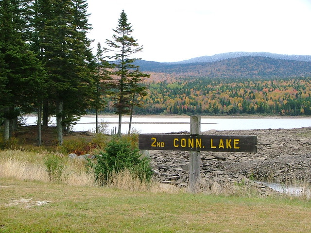
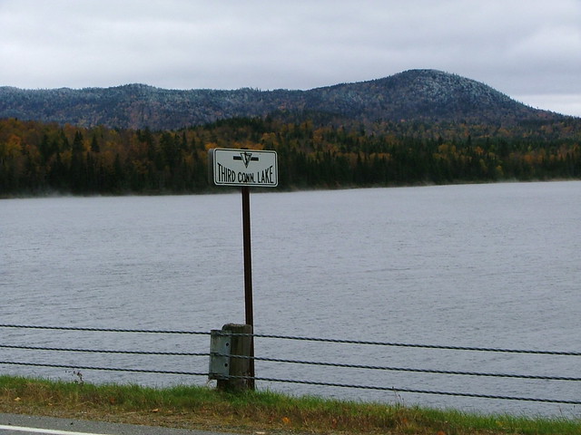
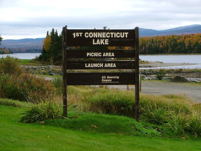
The north terminus of US 3 is at a border crossing leading to Chartierville, Quebec. Since there is no town nearby on the American side, US 3 is often described as ending in Connecticut Lakes, New Hampshire. This is the name applied to the state forest that protects the upper reaches of the Connecticut River, where a chain of lakes is situated near its source. US 3 goes right past three of them:
The path to Fourth Conn. Lake is an international trail, because it follows the border slash and hikers using it actually meander back and forth between the two countries. In this area the international boundary is defined by a ridge which separates water flowing north through Canada into the St. Lawrence River, from water flowing south through the U.S. into Long Island Sound. The hike to the lake is a little over a half-mile, with approx. 500 feet in elevation gain. [More info] As of 2020, the trail was reportedly not very well-maintained.


George Bourey, Jul. 2020


Comments
Post a Comment